GIS is neat.
People dont know where to start.
Add your content here...


Add your content here...
Collaborative design with SVG mapping integrations demands a delicate balance between technical precision and creative vision—every stakeholder brings different expectations for how spatial data should look, behave, and communicate meaning. The real challenge isn't rendering the vectors; it's aligning the humans behind them
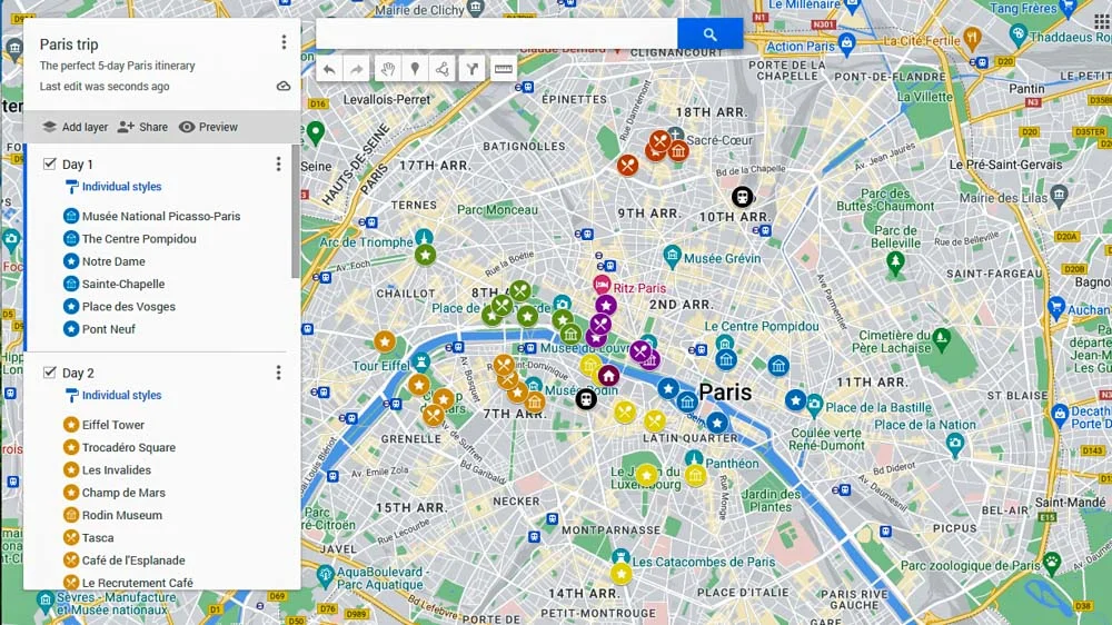
A map without context is just shapes on a screen—it's the information design strategy that transforms raw geography into actionable insight, guiding users to understand not just where things are, but why it matters. This only happens when organizational vision, technical implementation, and UX thinking work in concert, each informing the other to ensure that every tooltip, layer toggle, and color choice serves a larger narrative purpose.
© 2026 All Rights Reserved
Acorn Interactive Inc.